


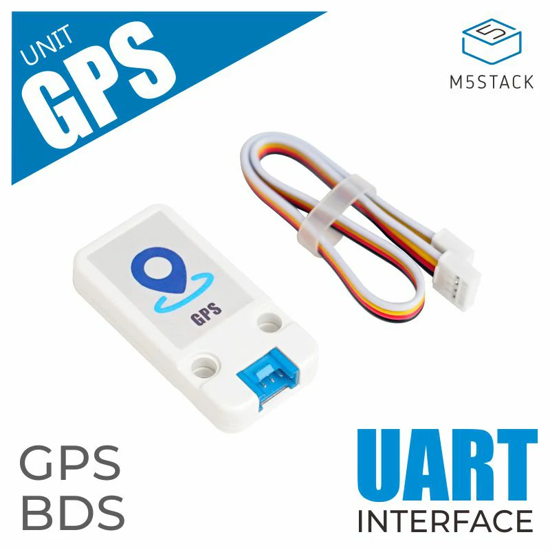
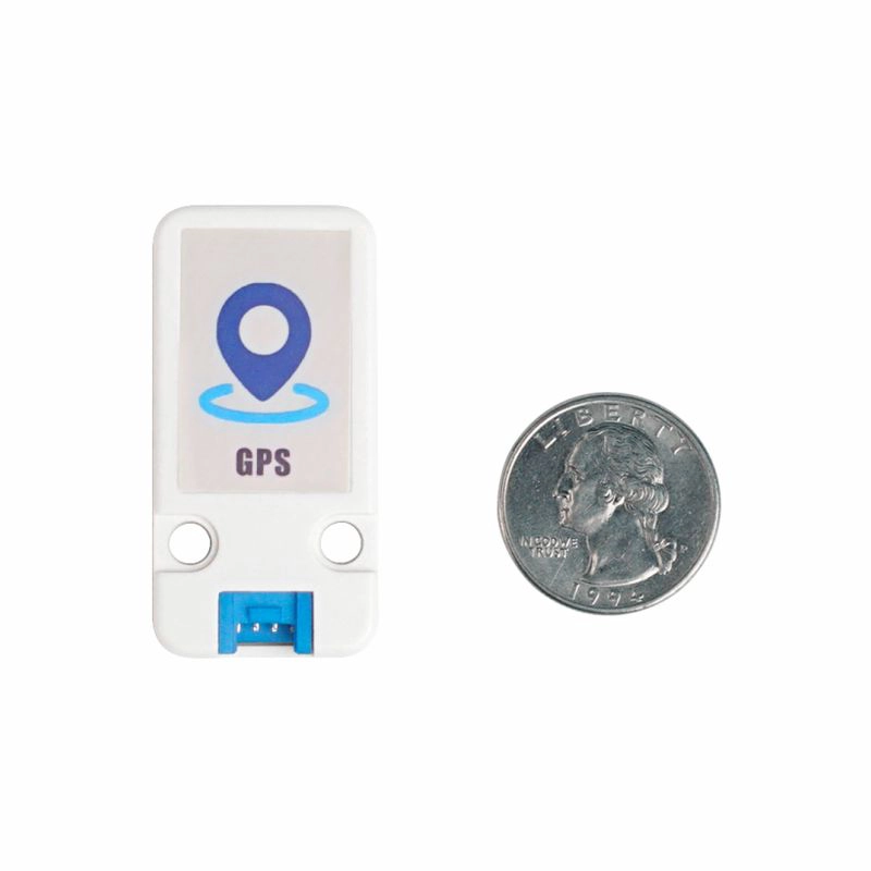
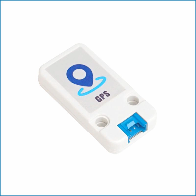
Unit GPS
SKU:U032
Description
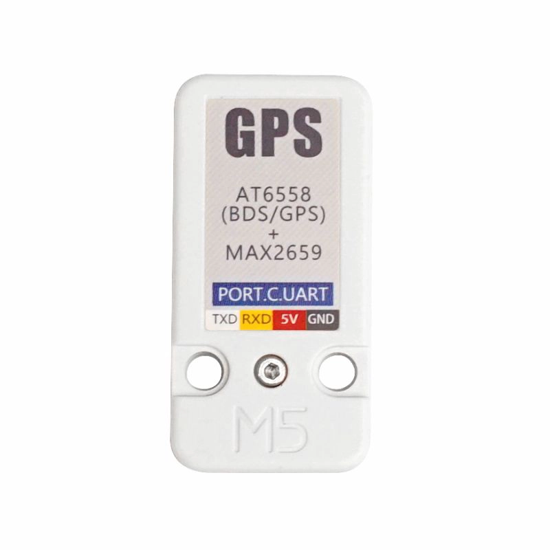
Unit GPS is a satellite positioning Unit. It integrates the COMLOC Beidou navigation chip AT6558 and the signal amplification chip MAX2659, providing high-quality satellite positioning services.
AT6558 is a high-performance navigation chip that supports multiple satellite navigation systems, with 56 channels for receiving satellite signals, receiving GNSS signals from 6 satellite navigation systems simultaneously, and performing integrated positioning, navigation, and timing to obtain accurate global location information. AT6558 can quickly and accurately locate in weak signal conditions such as cities, canyons, under overpasses, and anywhere inside a car. This module is used in products such as vehicle monitoring, bus stop reporting, vehicle navigation, ship navigation, and notebook navigation.
When using, please connect this Unit to PORT.C, and it will communicate with M5Core through the UART protocol
UART parameter settings:
- Baud rate (default: 9600bps)
- Start bit (1 bit)
- Stop bit (1 bit)
- Parity bit (None)
Features
- Supports single-system positioning for BDS / GPS satellite navigation systems, or multi-system combined positioning in any combination
- Low-power design
- 2 x LEGO compatible holes
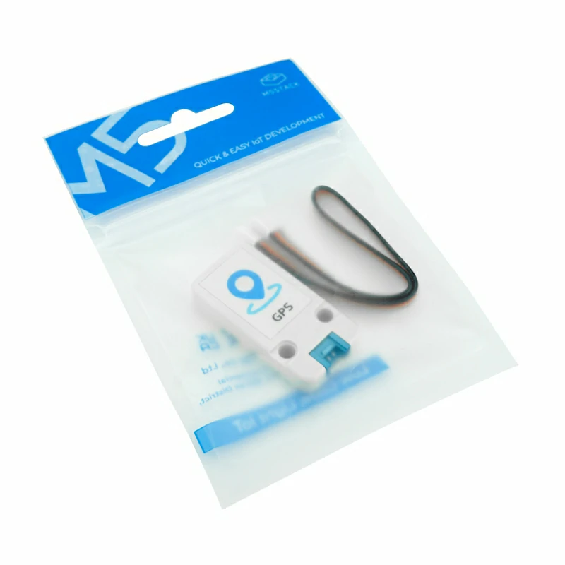
Includes
- 1 x Unit GPS
- 1 x HY2.0-4P Grove Cable (20cm)
Applications
- Vehicle and ship positioning and navigation
- Smart law enforcement positioning
Specifications
| Specification | Parameter |
|---|---|
| Positioning accuracy | 2.5m |
| Channels | 56 |
| Update rate | 1-10Hz |
| Max speed | 515m/s |
| Max acceleration | <= 4g |
| Sensitivity | Tracking: -162dBm, Acquisition: -148dBm, Cold start: -146dBm |
| Start time | Cold start: 35 seconds, Warm start: 32 seconds, Hot start: 1 second |
| Operating temperature | -40 ~ 85°C |
| Product weight | 13g |
| Gross weight | 26g |
| Product size | 48 x 24 x 8mm |
| Package size | 136 x 92 x 13mm |
Schematics
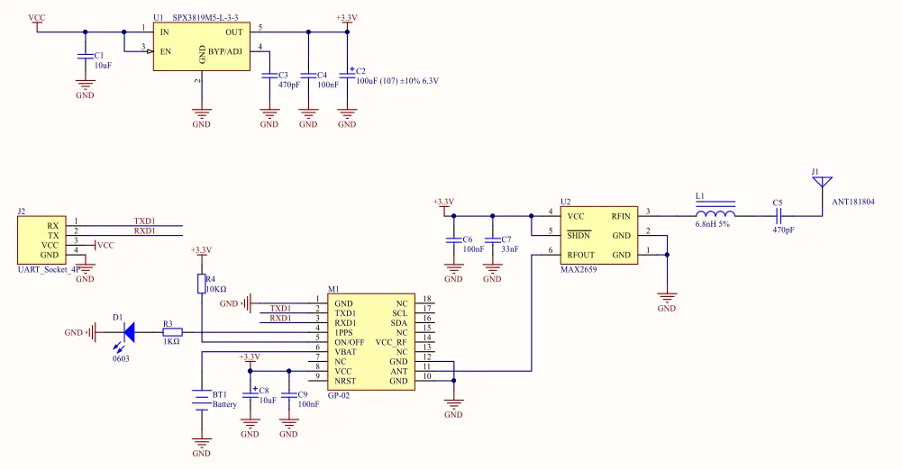
PinMap
Unit GPS
| HY2.0-4P | Black | Red | Yellow | White |
|---|---|---|---|---|
| PORT.C | GND | 5V | UART_RX | UART_TX |
Model Size

Datasheets
- AT6558
- MAX2659
- TinyGPS++ library
- CASIC Multi-mode Satellite Navigation Receiver Protocol Specification
- GnssToolKit3 Upper Computer Software (Windows Version)
Softwares
Arduino
UiFlow1
Easyloader
| Easyloader | Download | Note |
|---|---|---|
| Unit GPS Test Easyloader | download | / |
Video
- UiFlow2 GPS Unit